
Historic flooding swamps Pagosa Springs — San Juan River hits highest level since 1911
 Editorial illustration — Press Pass USA
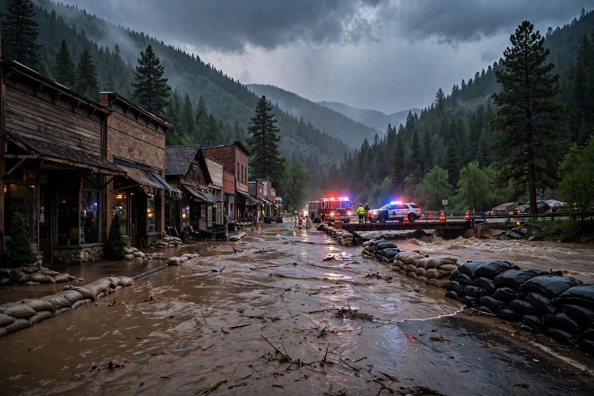
Days of relentless rain turned southwestern Colorado into a flood emergency Friday, as the San Juan River climbed to 15.02 feet in Pagosa Springs — the highest level recorded since October 1911. Around 100 people evacuated, mandatory evacuation orders went out along four rivers, and Gov. Jared Polis expanded a disaster emergency to cover a dozen counties.
According to U.S. Geological Survey gauge data cited by Colorado Public Radio, the river's only higher reading came in 1911 at 17.80 feet. Last October's flood, itself destructive, crested at 12.82 feet. On Friday morning, the Archuleta County Sheriff's Office urged residents to shelter in place and ordered mandatory evacuations for all low-lying, flood-prone areas along the San Juan, Rio Blanco, Navajo and Piedra rivers. All Archuleta County schools closed for the day.
"First responders have tirelessly spent the day rescuing Coloradans stranded due to the flooding and helping people safely evacuate," Polis said in a statement Friday evening, urging residents to follow emergency orders. Polis amended his disaster emergency order Friday to expand coverage — a move that opens up state resources, including the Colorado National Guard, for response and recovery. The American Red Cross opened evacuation centers in Pagosa Springs and Durango.
Flooding was widespread across the region. The Colorado Department of Transportation announced complete closures of Red Mountain Pass and Wolf Creek Pass, plus closures between Pagosa Springs and Bayfield and near Antonito. CDOT crews documented a significant road washout near Silverton on Highway 550, with a large section of the highway shoulder gone. "We have not experienced that" level of widespread rain, said CDOT spokesperson Lisa Schwantes, calling it the worst flooding she has seen in a decade.
Officials warned the danger is not over: flood risk is expected to continue as heavy rains keep hitting multiple rivers, with saturated soils sending even more water into already-rising channels. Residents in flood-prone areas are urged to follow local alerts and never drive through floodwater.
Sources: Colorado Public Radio — CPR News (Oct 22–23, 2026); KSUT Public Radio (Oct 23, 2026); USGS river gauge data via NWS; Archuleta County Sheriff's Office; Office of Gov. Jared Polis.
Sponsored